Mount Ascutney
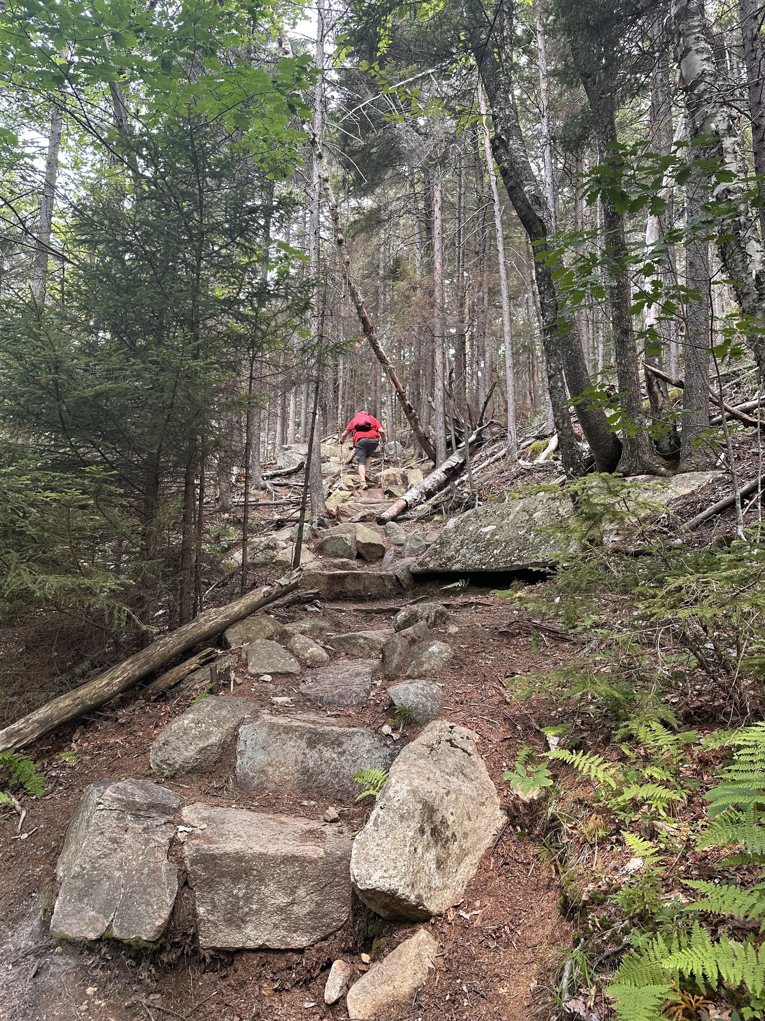
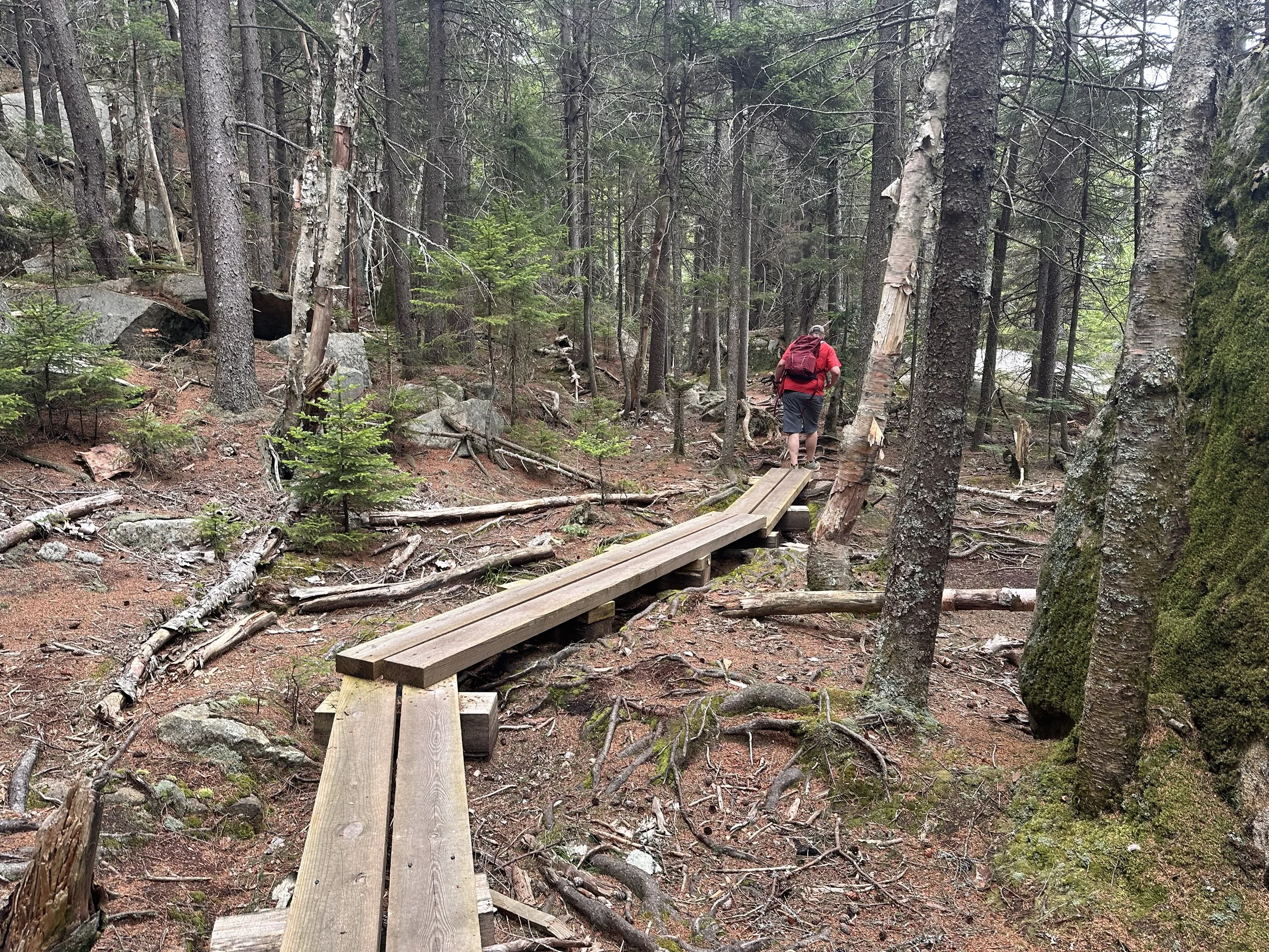
What I loved most about Mount Ascutney was the diversity along the trail. Like most hiking trails, there were plenty of rocks and roots, but you also get to experience a stone staircase, wooden planks, a wooden staircase, and even a tiny rock scramble. I think there's also a water feature here when conditions aren't so dry. We hiked the Weathersfield Trail, located in Perkinsville, Vermont. There is no fee to park here, which also means there are no bathrooms, but you're not far from a gas station if you need one.
The Weathersfield Trail is an out-and-back hike. You can take a couple of side trips, like the cascades, or skip them if you prefer. The trail starts with a steady incline, but nothing too challenging. About 0.5 miles in, you'll come to the small rock scramble and the stairs. I didn't find this section difficult at all, but I can see why it might be more challenging for some hikers. Around one mile in, you'll reach the side trail to the cascades. They weren't very "cascading" when we visited since it was the middle of summer and it hadn't rained in quite a while, but they were still pretty.
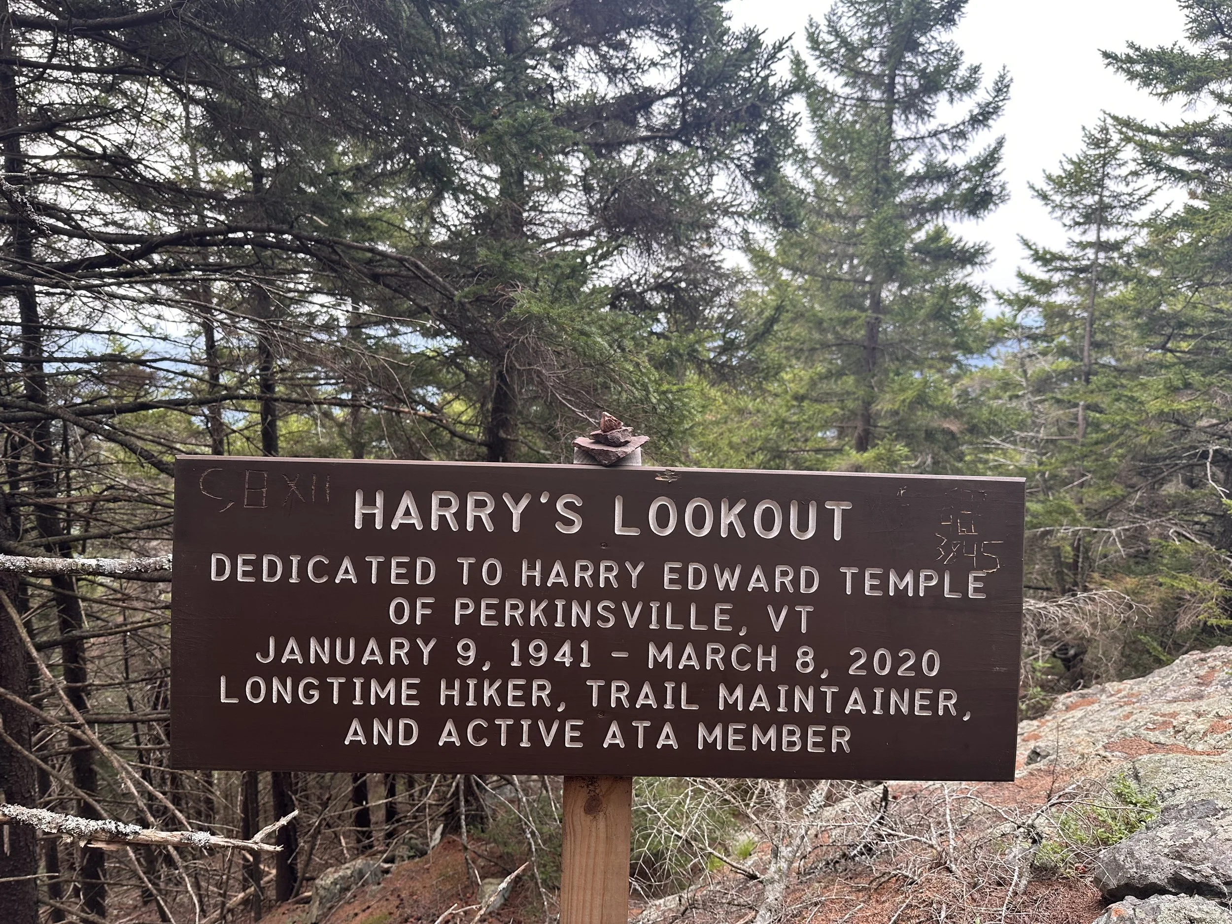
About 2.2 miles into the hike, you'll reach Harry's Lookout. The day we went, it was a bit cloudy, and the views were somewhat overgrown. The next viewpoint, Gus's Lookout, is about 2.4 miles in. This one wasn't as overgrown and seemed to have even more potential for great views on a clear day.
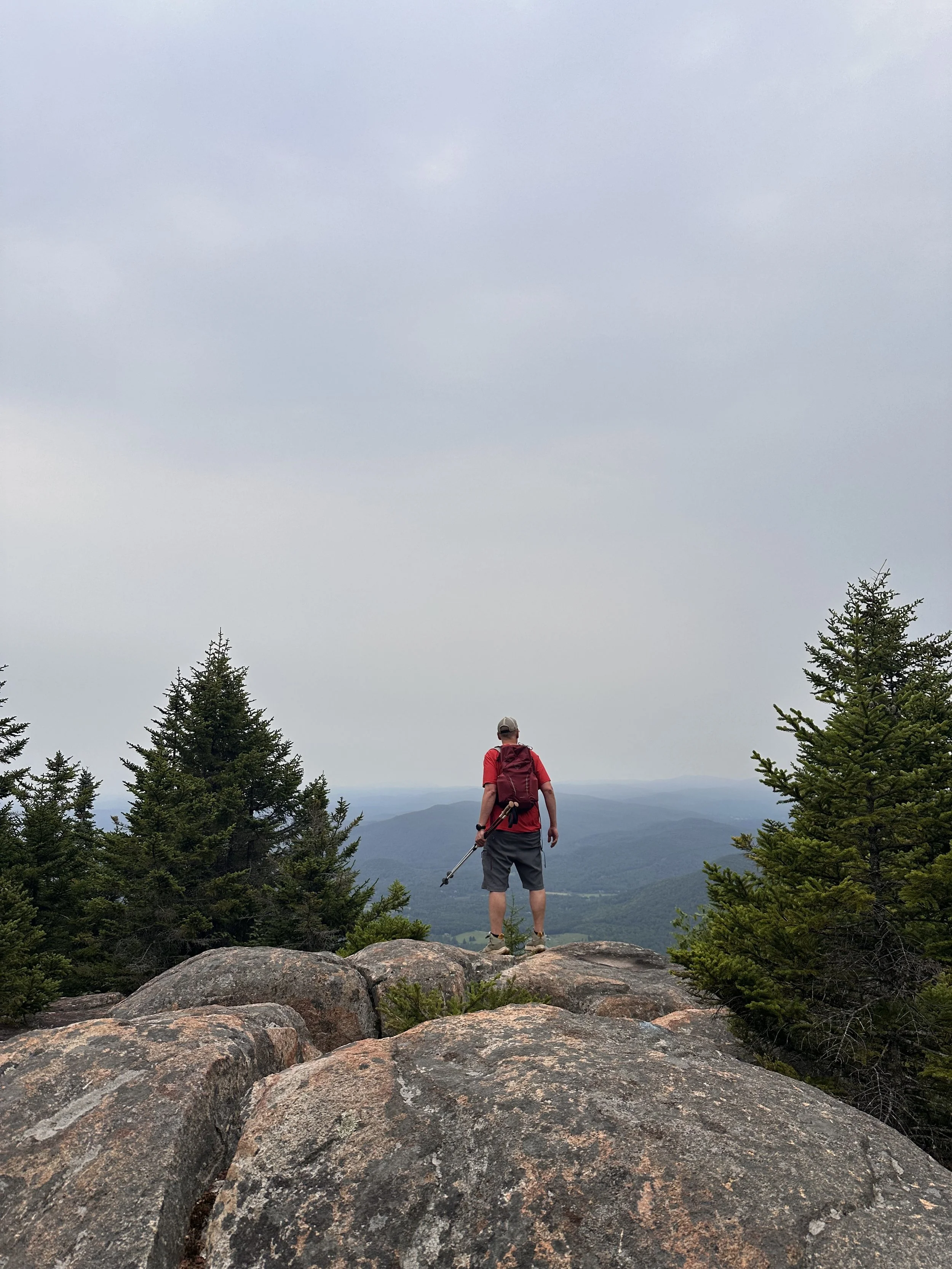
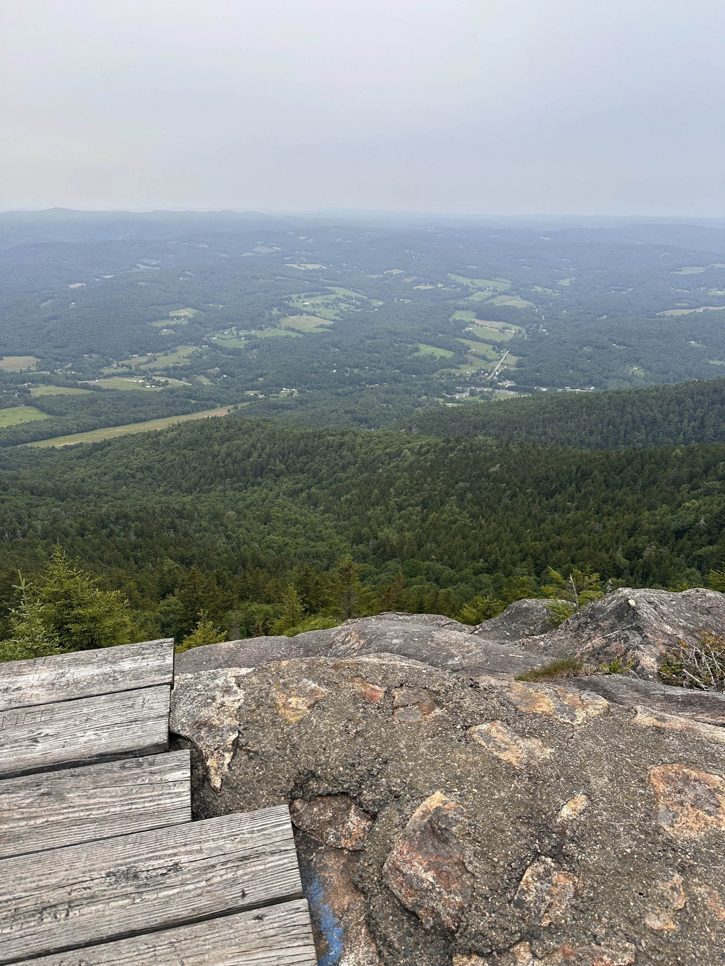
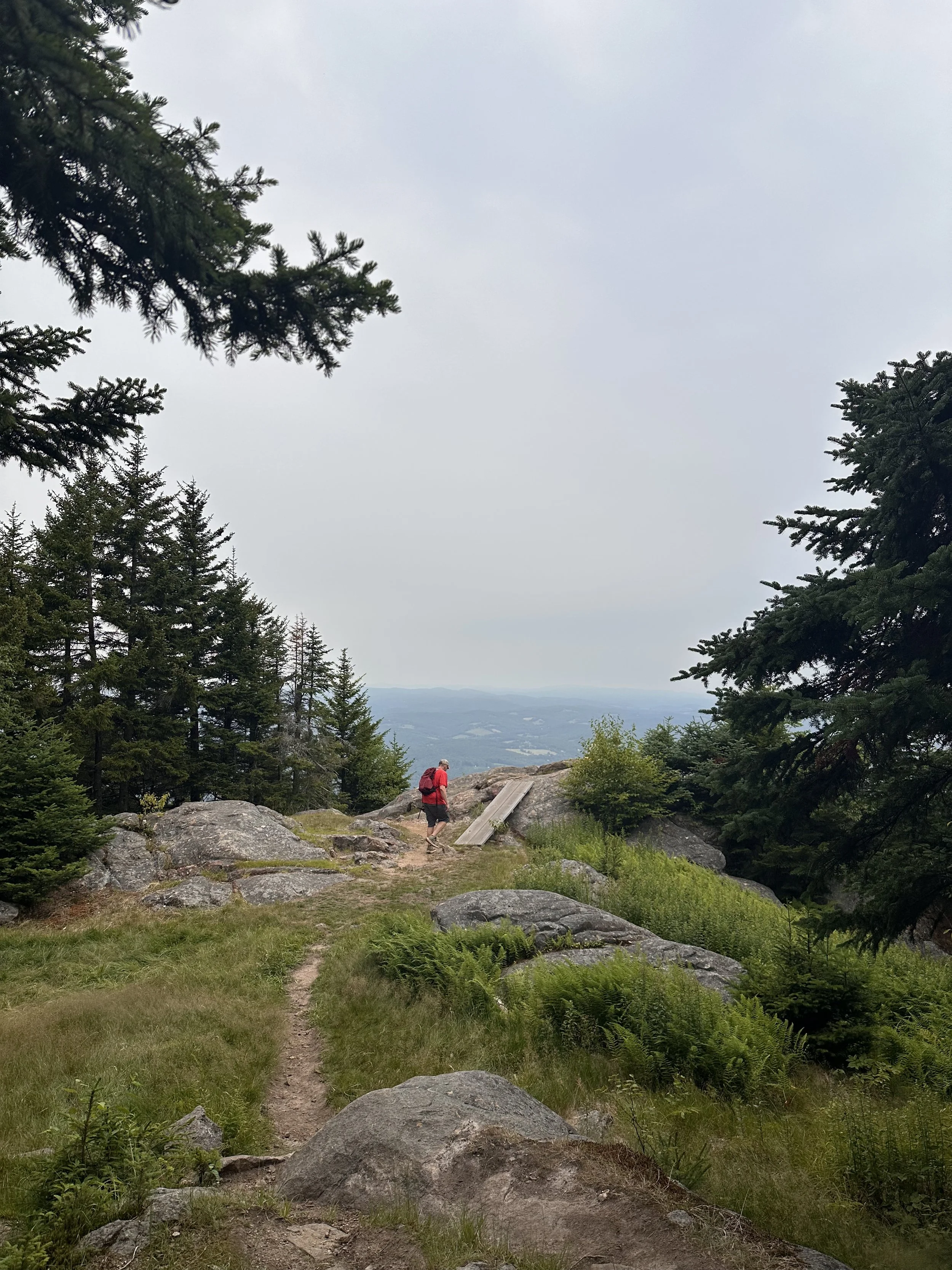
At this point, you're getting to the really cool stuff, at least in my opinion. Around 2.8 miles in, you'll arrive at the hand glider launch. It would have been amazing to see a hand glider take off, but unfortunately, there weren't any there that day. Even so, it was still a really cool spot, and despite the cloudy weather, the views felt almost magical.
From here, the most challenging part of the hike is over, in my opinion. The trail continues through the woods with some gradual elevation gain, but again, nothing too difficult.
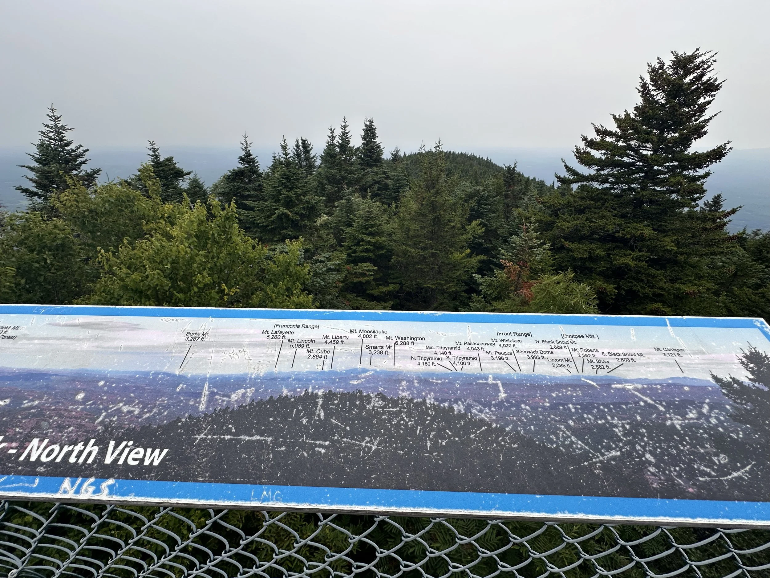
The summit of Mount Ascutney actually didn't have the best views of the hike. It's home to a couple of antennas, and it was both windy and noisy, so we continued on to the observation tower. Once again, the day we visited was cloudy, so the views weren't at their full potential, but I loved them all the same. From the top of the tower, you can potentially see an incredible amount. Interpretive signs on each of the four sides point out landmarks, including Killington, Burke, and Lincoln and Lafayette in New Hampshire.
We headed back down the same way we came, and it started raining with about three-quarters of a mile left to go. We made it back to the car just in time!
Now, if you've never been here, I don't want to spoil too much, but there is a road that goes up the south side of Ascutney. From there, you can walk to the hand glider launch, the summit, and the observation tower. We saw several families doing this, and it would have been a great option on a day like ours. We never saw the parking lot from anywhere along our hike, so it didn't take away from the experience at all.
After the hike we grabbed a sandwich at Brownsville Butcher & Pantry. They were amazing 10/10!
📏 Mileage: 5.8 miles round trip
📈 Elevation Gain: 2,201 ft
🐾 Dog-Friendly: Yes, for an older dog with some trail experience.
👨👩👧 Kid-Friendly: Mostly, great for adventurous kids who can handle a moderate climb.
🌄 Views: 6/10 (probably higher on a nice day)
💪 Difficulty:4/5 (a solid moderate family friendly hike)